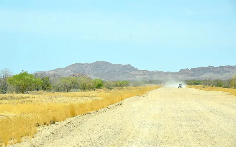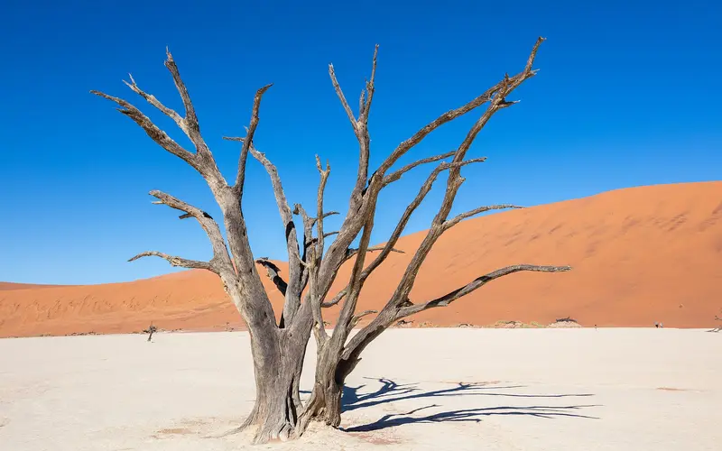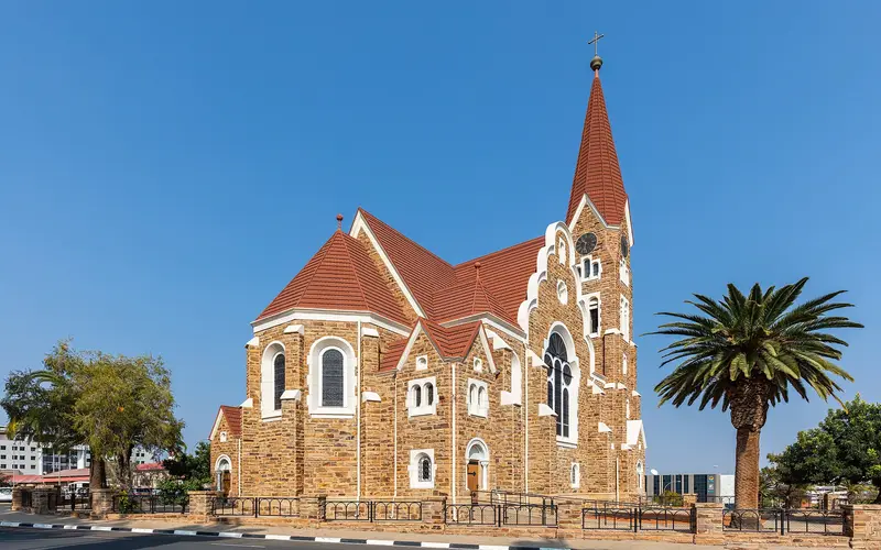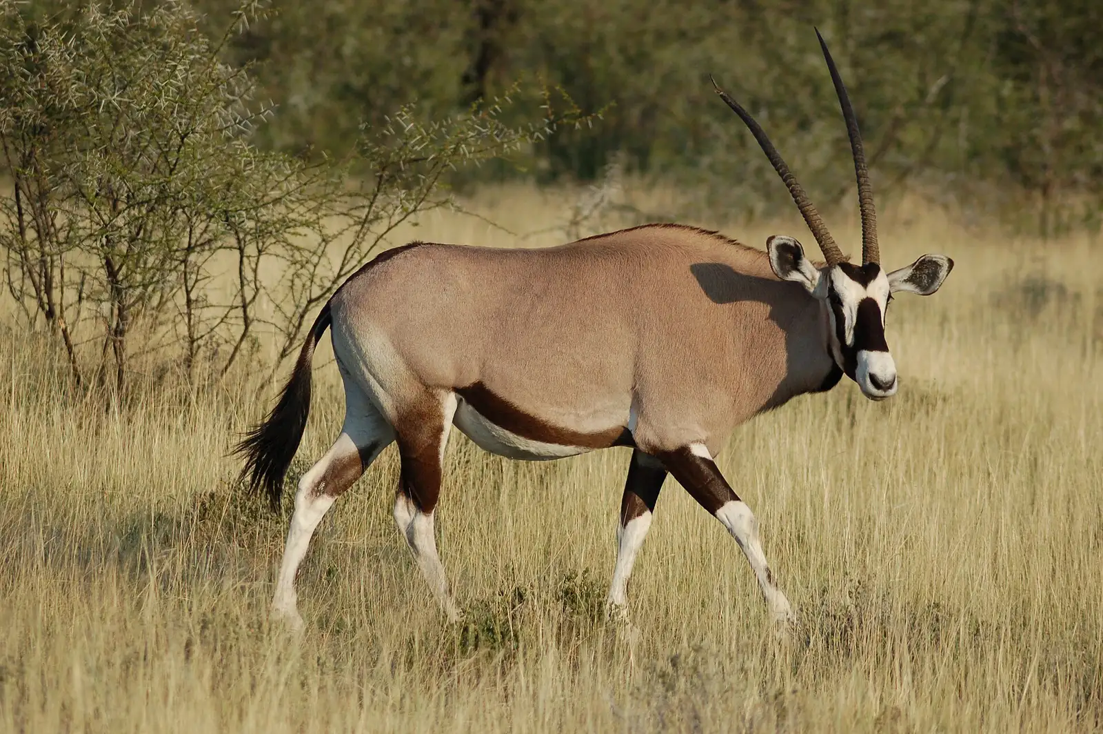
The classic Namibia road trip is a loop from Windhoek through the red dunes of Sossusvlei, the coast at Swakopmund, the rock art and mountains of Damaraland and the wildlife of Etosha, then back to Windhoek. In 10 days you can do it with a couple of long driving days; 14 days lets you add Spitzkoppe and slow down. Expect roughly 2,500–3,300 km in total, most of it on gravel, at 70–80 km/h.
Below are both itineraries day by day, with approximate distances, road surfaces and driving times, followed by advice on vehicles, fuel, booking and the mistakes first-time self-drivers make. Distances are approximate and vary with exact routes and detours; prices are approximate for 2026 and change often.
Before you start: how the loop works#
- Start and finish in Windhoek. Hosea Kutako International Airport, about 45 km east of the city, has the most flights and the biggest choice of rental companies, and one-way fees are avoided.
- Direction: this guide goes anticlockwise (Sossusvlei first), which tackles the hardest gravel days early and ends with an easy tar drive from Etosha. It works just as well in reverse.
- Daily rhythm: leave after breakfast, arrive by mid-afternoon, never drive after dark. Sunset is around 18:15 in June and 19:30 in January.
- Swakopmund is the halfway rest stop: real supermarkets, restaurants, laundry, a mechanic if you need one, and cool sea air after the desert heat.
10-day Namibia itinerary at a glance#
| Day | Route | Approx. distance | Road | Approx. driving time |
|---|---|---|---|---|
| 1 | Airport → Windhoek | 45 km | Tar | 45 min |
| 2 | Windhoek → Sesriem (Sossusvlei) | 300–340 km | Tar to Rehoboth, then gravel | 5–5.5 h |
| 3 | Sossusvlei, Deadvlei and Sesriem Canyon | approx. 140 km return in the park | Tar, then shuttle for the last 5 km | Half day |
| 4 | Sesriem → Swakopmund via Solitaire | 345–360 km | Mostly gravel | 5–6 h |
| 5 | Swakopmund | Local | Tar | Activities |
| 6 | Swakopmund → Twyfelfontein area (via Henties Bay, Uis) | approx. 330 km (430 km with Cape Cross) | Salt road, then gravel | 5.5–7 h |
| 7 | Twyfelfontein → Etosha (Okaukuejo) via Khorixas and Outjo | approx. 330–360 km | Gravel and tar | 5–5.5 h |
| 8 | Etosha: Okaukuejo → Halali | approx. 70 km plus game drives | Gravel inside the park | All day |
| 9 | Etosha: Halali → Namutoni | approx. 75 km plus game drives | Gravel inside the park | All day |
| 10 | Namutoni → Windhoek (and airport) | approx. 530–580 km | Tar | 6–7 h |
Total: approx. 2,500–2,800 km including game drives.
Day by day#
Day 1: Arrive in Windhoek. Pick up your car (inspect both spare tyres, the jack and the camping kit), buy a SIM card and cash at the airport, and stock up at a Windhoek supermarket. If you arrive on an overnight flight, don’t drive further today. Our Namibia visa guide explains the arrival formalities.
Day 2: Windhoek to Sesriem. Take the B1 south to Rehoboth, then gravel roads west (the C24, then mountain-pass routes such as the Spreetshoogte or Remhoogte passes) down the escarpment to the C19 and Sesriem. The passes are steep with sharp bends: low gear and patience. Fill the tank in Windhoek or Rehoboth.
Day 3: Sossusvlei and Deadvlei. Enter the park at opening (or earlier if you stay inside the gate), climb Dune 45 or walk to Deadvlei before the heat builds, then visit Sesriem Canyon in the afternoon. Since 1 May 2026 self-drive vehicles, 4x4 or not, must stop at the 2x4 car park; the official shuttle covers the final 5 km of deep sand. See our Swakopmund to Sossusvlei guide for gate times and the latest shuttle rules.
Day 4: Sesriem to Swakopmund. North on the C19 to Solitaire (fuel and the famous bakery), then the C14 through the Gaub and Kuiseb passes and across the gravel plains to Walvis Bay, and up the coast to Swakopmund. Expect a temperature drop of 15°C or more as you reach the fog.
Day 5: Swakopmund. Choose one or two big activities: sandboarding, the Living Desert tour, a dolphin cruise and the Sandwich Harbour tour from Walvis Bay, or a skydive. Do laundry, restock, and enjoy a seafood dinner. Our 3-day Swakopmund itinerary has more ideas.
Day 6: Swakopmund to Damaraland. North on the C34 salt road to Henties Bay, with an optional detour to the Cape Cross seal colony (approx. 100 km return from Henties Bay). Then turn inland on gravel to Uis, with the Brandberg massif on your left, and on to the Twyfelfontein area. Fuel up in Henties Bay or Uis. This is a long day if you include Cape Cross, so leave early.
Day 7: Twyfelfontein to Etosha. Visit the Twyfelfontein rock engravings (a UNESCO World Heritage Site, guided walks only) when the site opens, then drive via Khorixas and Outjo to Etosha’s Andersson Gate and Okaukuejo. Refuel in Outjo: fuel inside Etosha has been unreliable since 2025. The park gate closes at sunset.
Day 8: Etosha, Okaukuejo to Halali. Game drive east via waterholes such as Okaukuejo’s own floodlit waterhole (superb at night), Nebrownii and others along the route to Halali. Speed limit in the park is 60 km/h, and you must stay in your car outside the camps.
Day 9: Etosha, Halali to Namutoni. Continue east along the edge of the vast salt pan, with waterholes such as Goas and Chudop on the way. Overnight at Namutoni or a lodge just outside the eastern (Von Lindequist) gate.
Day 10: Etosha to Windhoek. A long but easy tar drive via Tsumeb, Otjiwarongo and Okahandja (woodcarvers’ market). If your flight leaves today, it is tight: most long-haul flights leave in the evening, but add a buffer for roadworks and car return. Many travellers add an 11th night near Windhoek or the airport.
14-day Namibia itinerary at a glance#
| Day | Route | Approx. distance | Road | Approx. driving time |
|---|---|---|---|---|
| 1 | Airport → Windhoek | 45 km | Tar | 45 min |
| 2 | Windhoek → Sesriem | 300–340 km | Tar, then gravel | 5–5.5 h |
| 3 | Sossusvlei and Deadvlei | approx. 140 km in the park | Tar and sand | Half day |
| 4 | Sesriem → Swakopmund | 345–360 km | Mostly gravel | 5–6 h |
| 5 | Swakopmund | Local | – | Activities |
| 6 | Swakopmund (or a self-drive day trip) | approx. 150 km for the Welwitschia Drive | Gravel | Half day |
| 7 | Swakopmund → Spitzkoppe | approx. 150 km | Tar, then approx. 30 km gravel | 2 h |
| 8 | Spitzkoppe → Twyfelfontein area via Uis | approx. 220–260 km | Gravel | 4–5 h |
| 9 | Damaraland | Local, approx. 50–100 km | Gravel | Sights |
| 10 | Twyfelfontein → Etosha (Okaukuejo) | approx. 330–360 km | Gravel and tar | 5–5.5 h |
| 11 | Etosha: Okaukuejo and western waterholes | Game drives | Gravel | All day |
| 12 | Etosha: Okaukuejo → Halali → Namutoni | approx. 145 km plus game drives | Gravel | All day |
| 13 | Etosha → Otjiwarongo area (Okonjima or Waterberg) | approx. 350–390 km | Tar, short gravel access | 4.5–5 h |
| 14 | → Windhoek and airport | approx. 250–340 km | Tar | 3–4 h |
Total: approx. 2,900–3,300 km including game drives and day trips.
What the extra days give you#
- Day 6, a second Swakopmund day: self-drive the Moon Landscape and Welwitschia Drive (buy the permit in town first), or head up the Skeleton Coast. Our best day trips from Swakopmund compares options.
- Day 7, Spitzkoppe: granite domes rising out of the plains, a natural rock arch and San rock paintings. Camp at the community campsite for sunset and stars. Details in our Spitzkoppe guide.
- Day 9, Damaraland at leisure: Twyfelfontein’s engravings, the Organ Pipes and Burnt Mountain, the Petrified Forest, and a guided drive to look for desert-adapted elephants in the dry riverbeds. Use a local guide for elephant tracking; don’t follow them off-road yourself.
- Day 11, a full day in western Etosha: time to sit at waterholes, which is how the best sightings happen.
- Day 13, Okonjima or Waterberg: Okonjima Nature Reserve (home of the AfriCat Foundation) offers guided carnivore tracking, while Waterberg Plateau Park has hiking trails and views from the plateau. Either breaks up the long drive back.
Road types and driving times#
| Road | What it means | Realistic speed |
|---|---|---|
| B roads (B1, B2) | Main tarred highways | 100–120 km/h |
| C roads | Main gravel or tar secondary roads, regularly graded | 70–80 km/h on gravel |
| D roads | Minor gravel roads, often rougher and sandier | 50–70 km/h |
| Salt roads (C34 coast road) | Compacted salt and gravel; slippery when damp with fog | 60–80 km/h |
| 4x4 tracks | Sand, rock and riverbeds | Walking pace to 40 km/h |
Google Maps often underestimates gravel driving times by 20–40%. Add stops for photos, fuel and wildlife, and the days above fill up fast.
4x4 or 2WD?#
- High-clearance 2WD SUV: fine for the whole classic loop in the dry season (May–October) if you drive carefully. Cheaper to rent and to fuel.
- 4x4 double cab or camper: recommended for the rainy season (roughly December–April), Damaraland side tracks, the last stretch to Sossusvlei (where private 4x4 access is permitted at the time) and anything in Kaokoland or the remote Skeleton Coast. Better tyres and clearance matter more than four-wheel drive itself.
- Compact sedan: only for tar routes such as Windhoek–Swakopmund and easy day trips. Not recommended for the full loop.
Approximate 2026 rental prices: compact 2WD approx. N$600–N$1,000 per day, 4x4 double cab approx. N$1,300–N$2,200 per day, and 4x4 camper with rooftop tents approx. N$1,800–N$2,800 per day depending on season. Our car rental guide covers insurance, deposits and what to check at pickup.
Fuel planning#
Prices (October 2026): at Walvis Bay, the coastal base price, petrol (95) cost N$26.58 and 50 ppm diesel N$27.86 per litre. Inland stations charge a little more to cover transport. Prices are reviewed monthly by the government.
Consumption: a diesel 4x4 typically uses about 12–15 litres per 100 km on gravel, more with rooftop tents and a full load.
Estimated fuel cost:
| Trip | Approx. distance | Approx. fuel (diesel 4x4) | Approx. cost (2026) |
|---|---|---|---|
| 10-day loop | 2,500–2,800 km | 330–400 litres | N$9,000–N$11,000 |
| 14-day loop | 2,900–3,300 km | 380–470 litres | N$10,500–N$13,000 |
Where to fill up on this route: Windhoek, Rehoboth, Solitaire, Sesriem, Walvis Bay, Swakopmund, Henties Bay, Uis, Khorixas, Outjo, Tsumeb, Otjiwarongo and Okahandja.
- Fill up whenever the tank is half empty and you pass a station.
- Don’t count on fuel inside Etosha or at other NWR rest camps; supplies have been interrupted repeatedly since 2025. Fill up in Outjo, Kamanjab or Tsumeb.
- Carry cash for remote pumps whose card machines are offline, and tip the attendants (N$5–N$10). See our Namibia currency guide.
- Diesel cars normally take 50 ppm diesel; check what your rental company specifies.
Park fees and permits#
Since 1 April 2026, foreign adults pay approx. N$280 per person per day at premium parks, including Etosha and Namib-Naukluft (Sossusvlei), SADC nationals approx. N$180 and Namibians approx. N$60, plus approx. N$60 per day for a vehicle with up to 10 seats. For the itineraries above, a foreign couple should budget roughly N$2,500–N$3,200 in park fees for 10 days and N$3,500–N$4,500 for 14 days (which adds an extra Etosha day and the Welwitschia Drive permit), plus community and site fees at places like Spitzkoppe and Twyfelfontein. Keep your receipts; fees are charged per day.
Booking advice#
- Book the car first. 4x4 campers for July–October sell out six to twelve months ahead. Insist on unlimited kilometres and two spare tyres.
- Book the parks next. NWR camps inside Etosha (Okaukuejo, Halali, Namutoni) and Sesriem inside the Sossusvlei gate fill early. Being inside the gate at Sesriem is the only way to reach the dunes for sunrise.
- Then Swakopmund. Book accommodation (see best hotels or hostels) and your top activities, especially in December–January.
- Leave some slack. One flexible day protects you against punctures, road closures after rain and tiredness.
- Check the season. The rainy season of 2025/26 was unusually severe, with flooded rivers and temporary road closures. See the best time to visit Namibia.
What to carry in the car#
- At least 5 litres of drinking water per person, plus extra for emergencies
- Cash for fuel, campsites and tips
- Offline maps downloaded (signal disappears outside towns) and a paper map as backup
- Tyre gauge, and know how to use the jack and change a wheel
- Snacks and a cool box; shops between towns are few
- Warm layers for winter nights and a headlamp for early starts
- A copy of your passport, licence (and International Driving Permit if your licence is not in English) and rental papers for police roadblocks
Common self-drive mistakes#
- Planning too far each day. 500 km of gravel is not a day’s drive; it is an ordeal.
- Driving after dark. Animals on the road cause serious accidents.
- Speeding on smooth gravel. It changes without warning; most tourist rollovers happen at speed.
- Skipping fuel stops. The next station may be 200 km away, or empty.
- Not booking inside the Sesriem gate, then missing sunrise at the dunes.
- Only one spare tyre on long gravel routes.
- No buffer before the flight home. Return the car the day before if you can.
Plan the rest of your trip#
For the coast leg, read our Windhoek to Swakopmund guide and Swakopmund travel guide. For safety on the road, see is Namibia safe.
Photo gallery
Frequently asked questions
How many days do you need for a Namibia road trip?
Ten days is the minimum for the classic loop of Sossusvlei, Swakopmund and Etosha, and it involves several long driving days. Fourteen days lets you add Spitzkoppe and Damaraland at a more relaxed pace, and three weeks allows the south or the Zambezi region as well.
Do I need a 4x4 for a Namibia road trip?
Not strictly for the main loop in the dry season, which a high-clearance 2WD SUV can manage on the gravel roads. A 4x4 is strongly recommended in the rainy season, for Damaraland side tracks and remote areas, but it no longer gets you to Sossusvlei itself: since 1 May 2026 all self-drive vehicles stop at the 2x4 car park and visitors take the concession shuttle over the final sandy 5 km.
How far can you drive in a day in Namibia?
Plan on an average of about 70–80 km/h on gravel including slow sections, so 350–450 km is a full day. Always aim to arrive before sunset, as driving outside towns after dark is dangerous because of wildlife.
How much does fuel cost for a Namibia road trip?
In October 2026 petrol cost about N$26.60 and diesel about N$27.90 per litre at Walvis Bay, slightly more inland. A diesel 4x4 using 12–15 litres per 100 km will burn roughly N$9,000–N$12,000 of fuel on a 10- to 14-day loop.
When should I book a Namibia self-drive?
For July to October, book 4x4 campers and NWR camps inside Etosha and at Sesriem six to twelve months ahead. For other months, three to four months is usually enough, but the best-located camps still fill early.
Is it better to drive the loop clockwise or anticlockwise?
Either works. Anticlockwise (Sossusvlei first) gets the long gravel days done while you are fresh and ends with easy tar from Etosha to Windhoek. Clockwise (Etosha first) is better if you want to ease in on tar roads before tackling gravel.